
Arnold ZIP Code Coverage
Official Missouri data confirms one five-digit ZIP for Arnold: 63010. That is the only ZIP established for the city in the reviewed official materials. The ZIP area extends beyond the incorporated city into surrounding Jefferson County townships and communities, so a mailing address that uses Arnold may not establish that a parcel is inside the city. The right order is to treat the postal result as delivery geography, then use county parcel and municipal-boundary information for the location question.
| Confirmed ZIP | Postal area | Post office | Record-search note |
|---|---|---|---|
| 63010 | Arnold preferred city, with delivery area beyond incorporated Arnold in surrounding Jefferson County | Arnold Post Office, 1314 Jeffco Blvd. | Standard ZIP. It is not the same thing as the city limit; check an exact address with USPS. |
Do not add nearby postal codes to an Arnold ZIP code directory without an address-level USPS result. Several adjacent ZIPs appear in third-party map products, but the official city and ZIP list reviewed for Arnold did not establish them as Arnold ZIPs.
Arnold's Confirmed ZIP Code
USPS Address Information System data is the authoritative association of ZIP, city, county, and post-office names. The public USPS tools are therefore the final check for an address, ZIP+4, preferred city name, and delivery-point question. The Postmaster Finder includes a warning that historical entries may not be current, which is another reason to confirm a live address rather than rely on an old directory or a broad map label.
The USPS ZIP Code Lookup provides by-address, by-city-and-state, and cities-by-ZIP search paths.
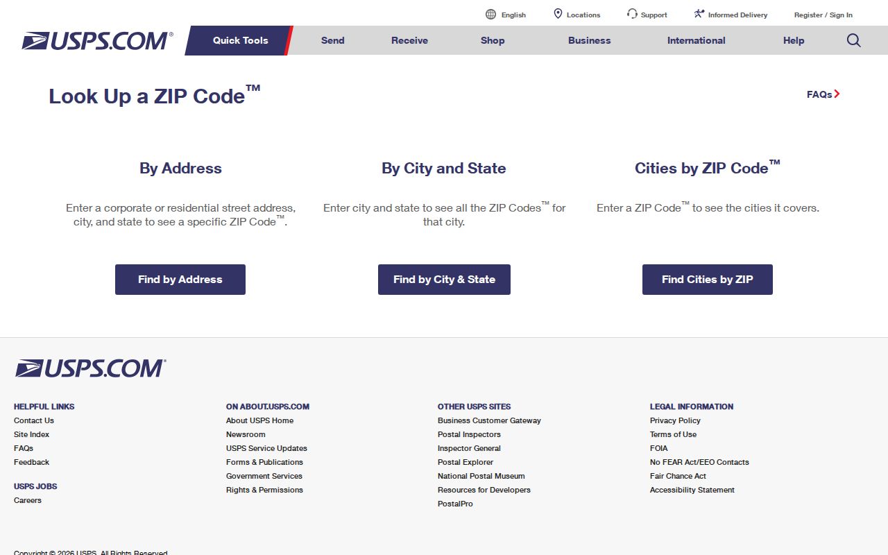
A precise delivery result is more useful than a generalized ZIP boundary when a parcel sits near an incorporated-city edge. Preserve the returned city wording along with the street address before comparing it with county records.
Search an Arnold ZIP in DEVNET
Jefferson County's DEVNET Property Tax Inquiry makes a ZIP useful for parcel research because Parcel Search includes both physical ZIP Code and owner/mailing ZIP Code fields. They answer different questions. Enter 63010 under the physical criteria when narrowing parcels in the Arnold delivery area. Use the mailing field only when examining where the owner receives tax correspondence. Combine a ZIP with City, Street Name, or a house-number range to reduce a broad return.
| DEVNET field | Type | Required | ZIP search use |
|---|---|---|---|
| Parcel Search | Tab or button | Yes | Select the parcel-search form. |
| Parcel Number | Text | No | Use a known parcel identifier; the required format is not stated on the form. |
| Owner Name | Text | No | Name field for a known tax owner; check variants and initials. |
| ZIP Code | Numeric text | No | Physical-address ZIP criterion. |
| City | Text | No | Pair with Arnold to narrow the parcel return. |
| Street Name and House Number Low / High | Text and numeric pair | No | Focus the result on a road or segment. |
| Owner/mailing Address and City | Text | No | Tax correspondence criteria, separate from physical address. |
| State | Dropdown | No | State list; live options were not rendered in the text capture. |
| Owner/mailing ZIP | Numeric text | No | Tax correspondence criterion, separate from physical ZIP. |
| Search All Tax Years | Checkbox | No | Expand beyond the default current tax year. |
The DEVNET Parcel Search displays the separate physical-address and mailing-address groups used by the Arnold ZIP code directory workflow.
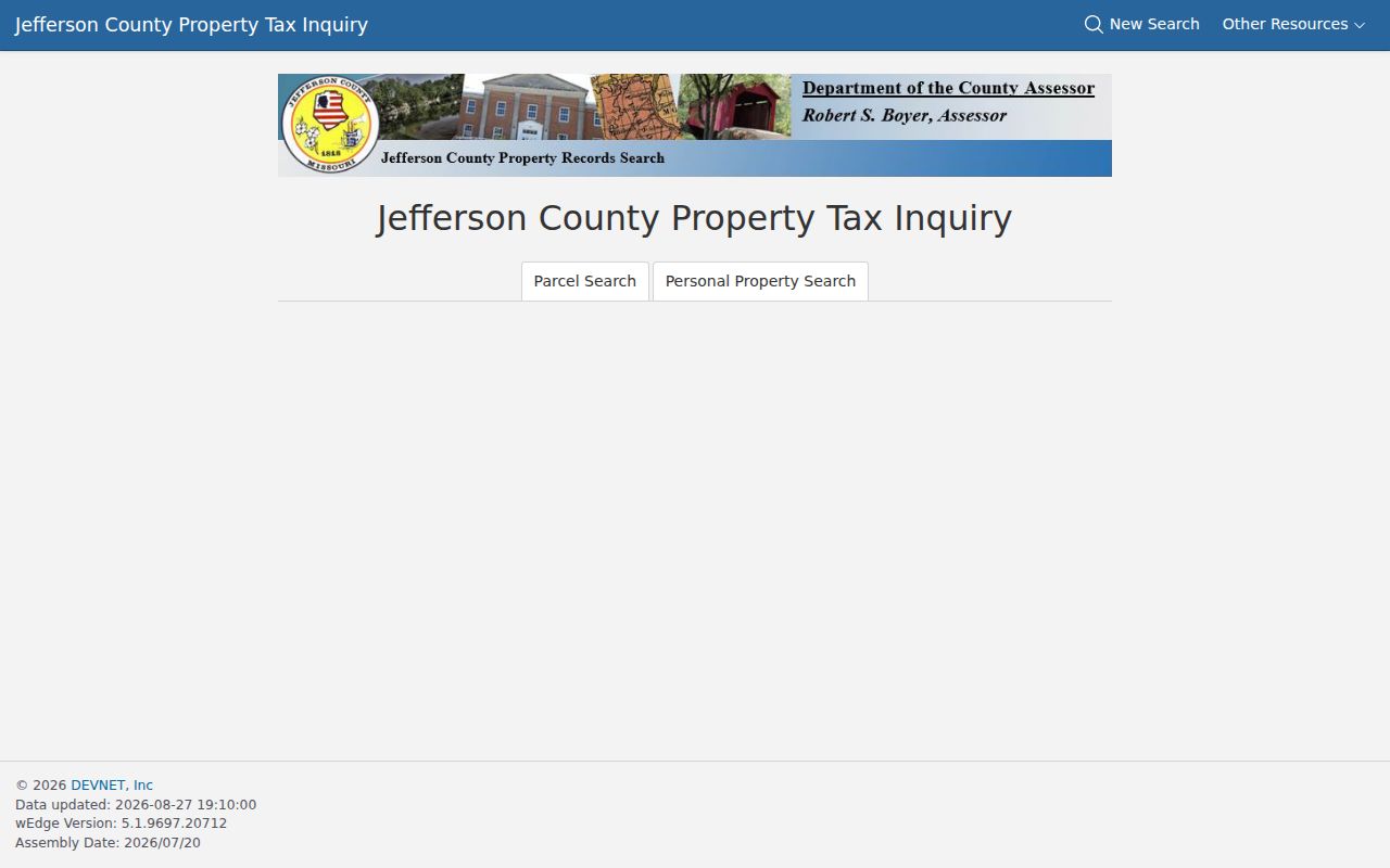
DEVNET can show a parcel number, owner, physical and mailing addresses, tax districts, values, legal description, exemptions, and map or sketch information depending on the result. It remains a tax database, not a complete title chain or a roster of occupants.
Arnold ZIP Code Delivery Terms
Postal terms help explain why a city name on an envelope and a municipal location can differ. For an Arnold ZIP code directory search, the smallest usable unit depends on the question. A delivery question needs USPS validation. A city-limit question needs parcel and municipal data. A deed question needs the county's legal-description index.
- ZIP Code
- A postal delivery-area code. It does not define a municipal boundary.
- ZIP+4
- An added four-digit delivery segment used to refine a ZIP for a narrower delivery point or route.
- PO-box ZIP
- A ZIP assigned for post-office boxes rather than a general street-delivery area.
- Unique ZIP
- A ZIP assigned to a single organization or high-volume recipient. No such Arnold ZIP was confirmed in the reviewed official material.
- Carrier route
- A postal delivery grouping within an area. It is not a city-limit or parcel-boundary layer.
Reverse directories and older newspapers may use a post-office city or an earlier place name. Preserve the printed label, then compare it with the current address and legal description rather than silently replacing it.
Find Residents Within an Arnold ZIP
A ZIP can focus an address-oriented search, but it does not identify all residents in that area. The county assessor can return parcel-tax information. The Property Viewer can provide parcel and municipal context. The recorder is keyed to county legal descriptions rather than ZIPs. The state registration check is built for a person verifying their own registration, not postal browsing.
- Validate the address with the USPS lookup before treating the postal city or ZIP+4 as final.
- Enter 63010 in DEVNET's physical ZIP field, then add Arnold, a street name, or house-number range as needed.
- Record the parcel's situs address, owner, mailing address, parcel number, and legal description. Do not equate the tax owner or mailing contact with a current occupant.
- Use the Jefferson County Property Viewer to compare the parcel with municipal and political layers, while remembering that tax maps are not boundary surveys.
- When the search narrows to a road, use the Arnold street directory for the fuller parcel-to-deed workflow.
For a historical household, follow the deed or directory trail from the parcel rather than treating a ZIP as a historic address key. Arnold's municipal identity is newer than several local settlements, and older sources may use another place name or only Jefferson County.
Arnold ZIP Code, Voter, and Safety Searches
The Missouri Secretary of State's Check Your Voter Registration form requires exact registered first and last name, full date of birth, last four SSN, and county. It does not accept a ZIP as a browse key. A lawful public voter-file request may include address components and ZIP among the statutory fields, but the file need not be posted online. The Jefferson County Election Authority is the channel for current request details, fees, delivery format, and the limits in RSMo 115.157.
A public safety search is likewise not a ZIP-wide residents directory. The Missouri State Highway Patrol registry search offers separate name, address, and radius paths for the state registry.
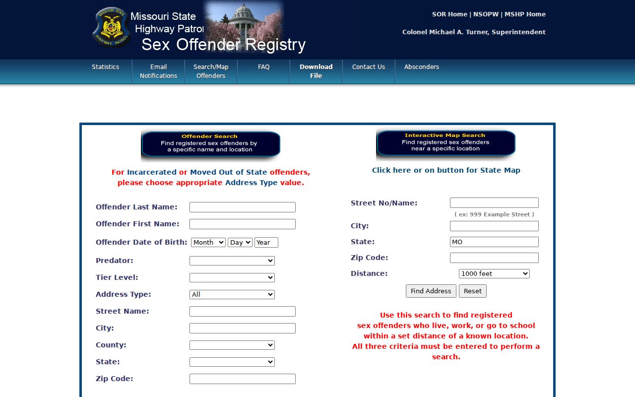
That interface is a purpose-specific public safety resource, not evidence of every person within an Arnold delivery area. It should not be combined with a parcel result to make claims about a household beyond the official record.
ZIP Geography versus Arnold City Limits
The central caution in the Arnold ZIP code directory is simple: ZIP boundaries are delivery geography, not city limits. A mailing address can say Arnold and use 63010 while the parcel lies in an unincorporated pocket or another municipal boundary. The reverse can occur near an adjacent place name. No captured official county ZIP boundary map or address-level city-limit mismatch example established a universal shortcut, so each edge address needs a direct check.
The Jefferson County Property Viewer provides municipal and political layers, while GIS data comes from the Assessor, Planning, 911, and ESRI sources identified by the county. Spatially zoom to the address area and compare the municipal layer with the parcel. Do not convert a ZIP shape into a legal boundary, and do not rely on aerial imagery for a precise property line.
Address authority is split by purpose. Arnold handles municipal addresses and permits. Jefferson County maintains parcel and tax mapping, with 911 data contributing to county online mapping. USPS assigns the mailing ZIP and delivery city. The recorded property identity can instead be a township-range-section locator, subdivision lot and block, or metes-and-bounds description. A modern street address is a practical index key, not the legal description.
For a ZIP-wide parcel result, note whether the result matched the physical ZIP field or the owner-mailing ZIP field. That distinction prevents a mailing contact outside Arnold from being mistaken for a local parcel address. It also prevents an Arnold postal label from being treated as proof of city jurisdiction.
Note: USPS validates delivery information, DEVNET helps search tax data, and the recorder's legal description controls the recorded property identity.
Historic Arnold Postal Names
Arnold incorporated on September 14, 1972 after Beck, Flamm City, Maxville, Old Town Arnold, Ten Brook, and Wickes joined into the city. An older directory, newspaper, census item, or deed may use one of those names or simply Jefferson County. The modern postal name is helpful, but it should not erase the historical place term that makes an older record findable.
That before-and-after split changes the record path. A person recorded before incorporation may appear in a county, township, settlement, church, cemetery, newspaper, or land record. Later material can also appear in Arnold City Clerk, municipal court, police, permit, and ward records. Jefferson County Library's local-history collections and Newspaper Index Database are useful for the historical layer, though the index excludes some political, school-related, and social-event articles.
No official source reviewed supplied a single Arnold street-renumbering year, additional city ZIPs, or an exact historical directory run. Preserve those gaps. Search old place terms with the legal description and address rather than adding an unsupported date, postal label, or boundary claim.