
Arnold Neighbors Block Records
Arnold public records can describe a block's parcels, tax owners, recorded subdivision shape, permits, civic wards, and historical context. They do not make a complete list of Arnold neighbors. The Jefferson County GIS serving Arnold and the assessor portal answer the parcel question. A recorded plat answers the lot and subdivision question. The Election Authority may explain a permitted voter-file request, while library and historical sources add an older Arnold neighborhood story. Treat an Arnold ownership field as ownership evidence, not a statement that every person at an address is named.
| Block source | What it can show nearby | Access route |
|---|---|---|
| Jefferson County Property Viewer | Parcels, roads, subdivisions, ownership popups, and map layers | Free online viewer or county counter computers |
| DEVNET assessor search | Tax owner, situs and mailing fields, parcel, values, and tax data | Free web query by parcel, address, or street range |
| Recorded plats | Lot, block, subdivision, and legal-record context | Recorder index and office copies |
| Election records | Permitted address and precinct fields in a statutory release | Election Authority request with use limits |
| Arnold permit records | Address-linked project or inspection timing | MyGov route or request; public browse unconfirmed |
| JCL and Historical Society | Photos, newspapers, artifacts, maps, and local stories | Catalog, library, research center, or onsite help |
A GIS polygon shows tax-map geography. It is not a legal survey, and it does not identify every occupant, visitor, utility customer, or all residents. For a full named-street sequence, use the Arnold street directory rather than treating a few neighboring parcels as the whole street.
Map an Arnold Block and Neighbors
The Jefferson County Property Viewer serving Arnold supports Property Address, Parcel ID, Owner, and spatial-zoom searching. Use it to find the target Arnold lot, then zoom and select the adjacent parcel polygons. The county describes layers for ownership, parcel lines, roads, subdivisions, aerial photography, contours, floodplain, and taxing or political districts. A buffer, radius, or measure tool was not confirmed in official material, so keep the Arnold work to selecting parcels actually visible beside the target.
- Search the target address or parcel ID in the Jefferson County Property Viewer, then record the parcel ID and street.
- Zoom until the adjoining parcel polygons are visible. Select each one and save its parcel reference separately.
- Open the same parcel in DEVNET and compare its tax owner, physical or situs address, mailing address, legal description, and tax fields.
- Retrieve a recorded plat when lot or subdivision wording needs confirmation. Use a survey, not the GIS linework, for a property boundary question.
- Use a permit, newspaper, library, or historical record only to add dated context, never to infer a complete household.
The DEVNET Parcel Search shows the address and owner criteria that support this Arnold neighbors workflow.
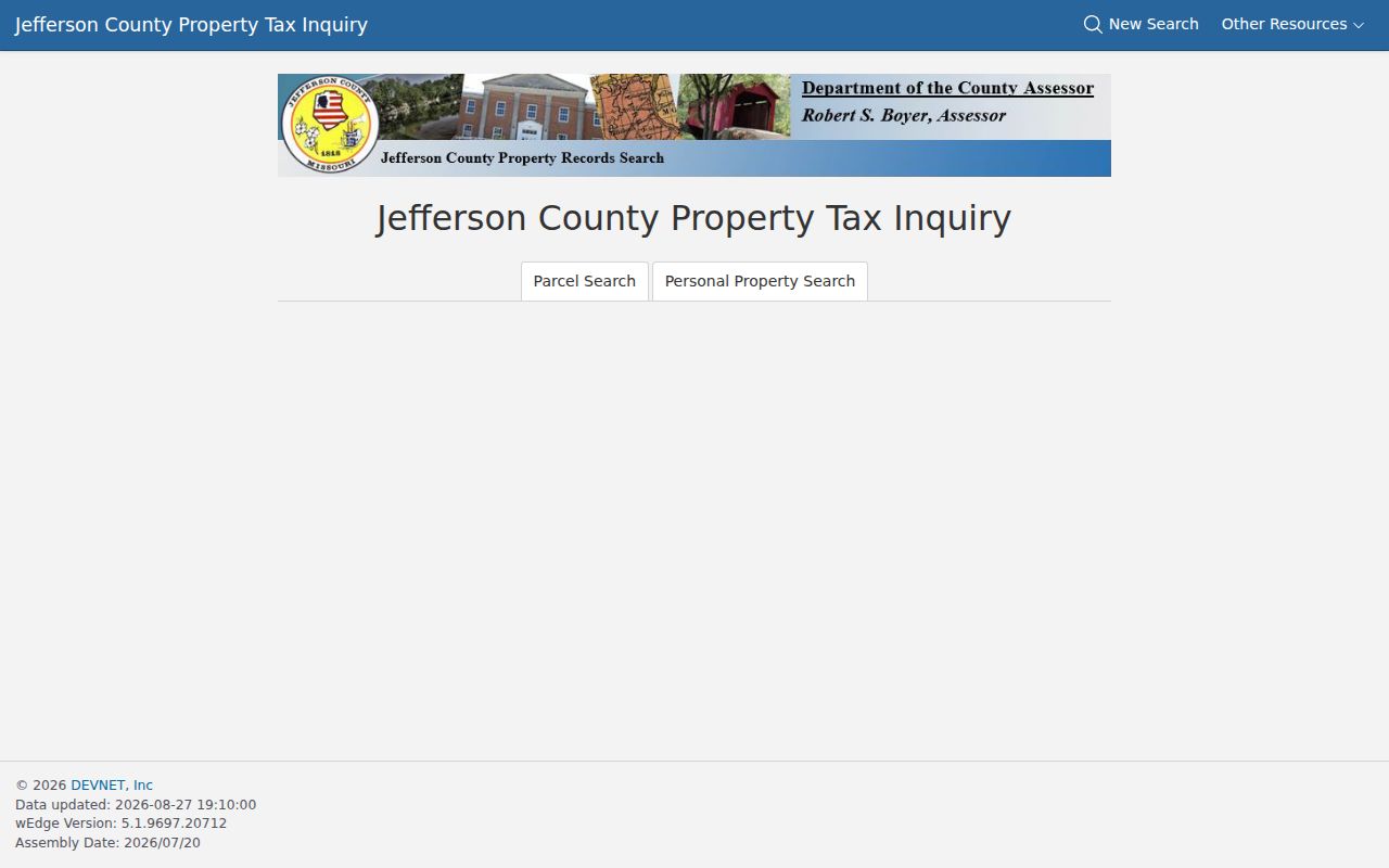
Its Arnold physical-address and owner-mailing criteria are separate. That distinction helps avoid calling an off-site tax mailing address an Arnold neighbor's place of residence.
Arnold Neighbors Owner Fields
DEVNET can search Arnold parcels by parcel number, owner name, house-number low and high, street name, city, ZIP, owner or mailing address, and Search All Tax Years. A chosen Arnold parcel may show the owner, physical address, mailing address, parcel number, assessed or taxable value, tax district, legal description, exemptions, and map or sketch information. Record what the field actually says. An exemption tied to an Arnold parcel can be consistent with owner occupancy, but it is not conclusive and can be administratively stale.
Plats and deeds for Arnold parcels provide the legal bridge when the map is not enough. A recorded plat can show a subdivision boundary, lot number, setbacks, or easements. The deed can provide the grantor, grantee, recording date, legal description, and prior-instrument reference. The map helps choose an Arnold parcel; the recorded document carries the legal description. County counter computers are available when the online viewer's popups fail.
Note: A person or entity named as tax owner may be a trust, estate, or company and may not be an occupant of the nearby address.
Arnold Neighbors Voter Records
Missouri's online voter check is a precise self-check, not a way to browse an Arnold block. The Missouri SOS Check Your Voter Registration requires exact first name, last name, full date of birth, last four Social Security digits, and county. It does not reveal a nearby-address roster. The state form can confirm registration status and jurisdiction for the person whose data is entered.
RSMo 115.157 permits limited public voter information in specific forms. It can include name, year of birth, address components, ward, precinct, district, and party-affiliation fields, but it does not open full registration cards, signatures, full birth dates, identification numbers, or protected Arnold addresses. Ask the Jefferson County Clerk/Election Authority for a permitted Arnold precinct-level or voter-file release, current fee, delivery format, and use conditions. Such material need not be posted online and may not be used commercially.
Arnold Neighbors Community Connectors
Public community connectors can help put an Arnold block in context without opening private member lists. The city identifies the Arnold Chamber of Commerce, Arnold Athletic Association, Arnold Historical Society and Museum, Jefferson County Library, churches, Fox C-6, Jefferson College, police, and civic contacts. Arnold's planning materials also organize the city into four wards. These are public institutions and contacts, not proof that they cover a particular subdivision or keep a roster of every neighbor.
| Publicly documented connector | What is public | Roster status found |
|---|---|---|
| Arnold Chamber of Commerce | City-listed community contact | Phone contact found; member roster not located |
| Arnold Athletic Association | Civic and recreation contact | Public contact found; membership directory not located |
| Arnold Historical Society and Museum | Museum page, location, and hours | Member directory not posted |
| Jefferson County Library | Genealogy, catalog, and local-history resources | Patron directory is not public |
| Formal neighborhood associations and HOAs | No comprehensive official inventory found | No public Arnold member roster found |
For a particular subdivision, search council agendas, planning or plat records, the GIS subdivision layer, and the Recorder's plat index. Then request a public contact route from the city or an identified organization. Do not assume that an HOA exists, has a public inventory, or shares membership details.
The City of Arnold Historical Society page describes the museum and its Saturday hours, a public source for place history rather than a neighbors list.
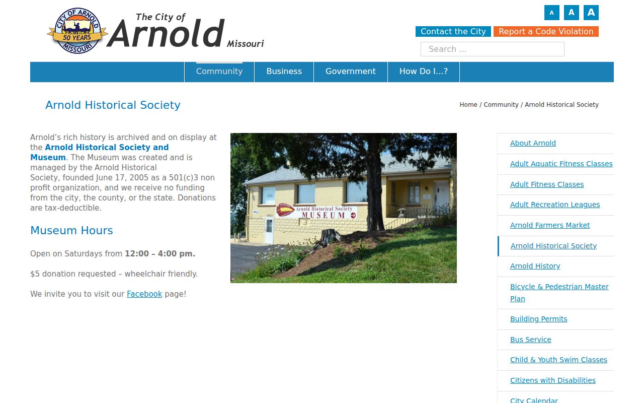
Ask the Historical Society about publicly shareable photographs, property material, family donations, and historic Arnold sources. Private member information should remain private.
Arnold Neighbors Historical Context
Arnold historical neighbors often appear first in a photograph, obituary, local article, or collection description, not a parcel database. The Jefferson County Historical Society catalog reports more than 27,000 descriptive archival records, estimated at about 90 percent of its catalog, although only a small number are digitized. Distant researchers can ask about an Arnold digitization request. An Arnold descriptive catalog result is a lead to an artifact or file, not proof of a current address.
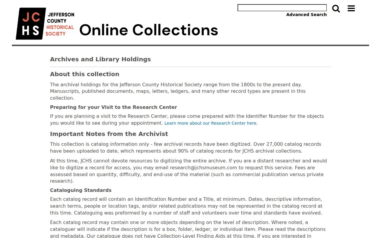
The catalog's scale makes it useful for place names, family papers, photographs, and old subdivision context. It should be paired with the original item, a recorded document, or library source before drawing a conclusion about a block.
The Jefferson County Library catalog adds keyword and advanced search across People, Photos, Objects, Library, and Archives records.
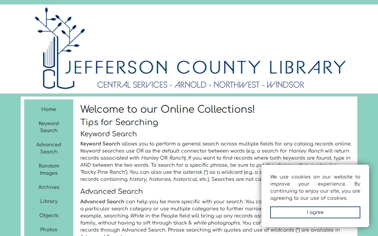
Arnold library catalog results can direct a researcher to microfilm, books, interviews, and local articles. They do not create an Arnold address-by-address neighbor directory.
Arnold Neighbors Permit Timeline
Permits can give an adjacent parcel a date layer. The Arnold permits and inspections page links applications and fee schedules through MyGov. Request existing records by address when a public browse result is not available. Ask for the project date, permit type, applicant or contractor, inspection, and completion status if each is releasable. The city code-reporting route does not establish a confirmed public case search.
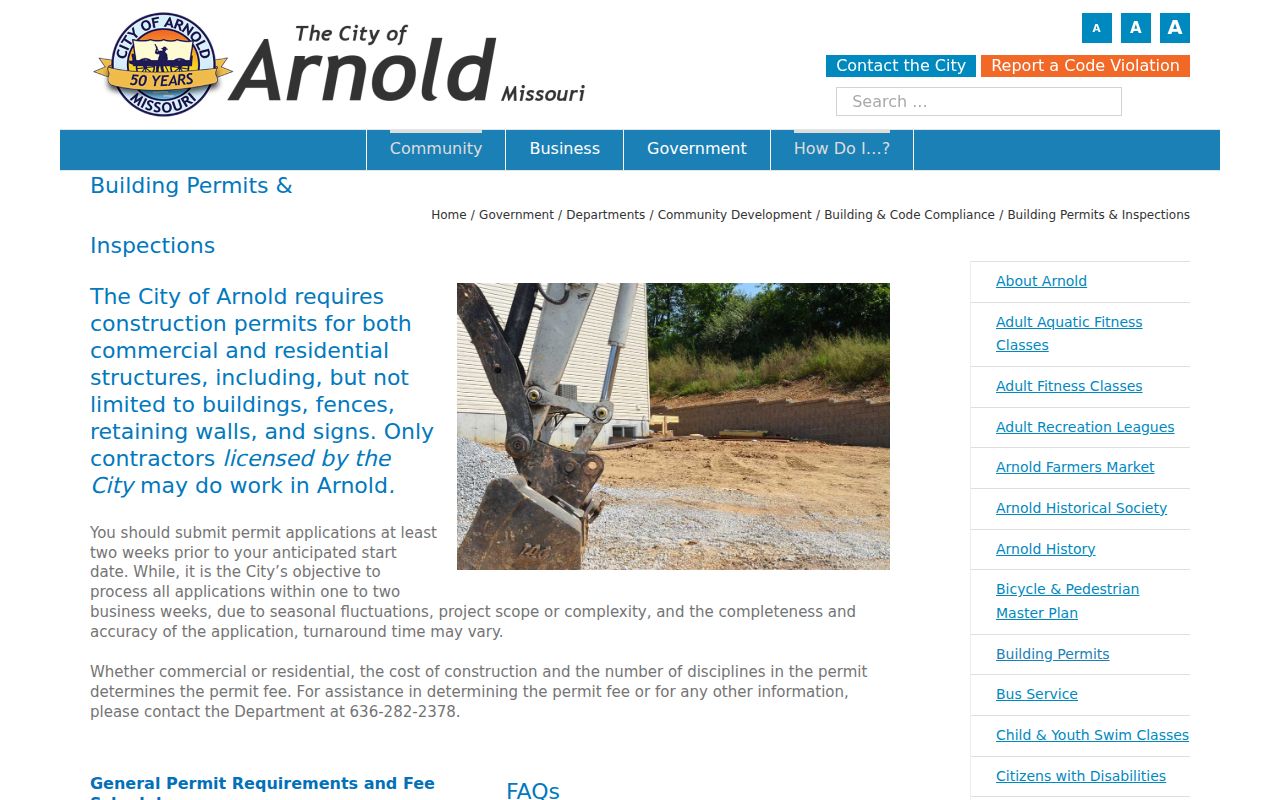
A permit helps date a project, repair, fence, retaining wall, sign, or construction activity. It is not a reliable list of the people living beside an address.
Arnold Neighbors Privacy Limits
Official parcel information and commercial neighbor-lookup tools answer different questions. County records have a named custodian, described fields, and a way to inspect the original document. Commercial tools are compiled data-broker products that can be stale, merged across same-name people, or incomplete. Neither can disclose utility customers, protected addresses, or every household member. Adjacent parcels are public geography; occupancy is a separate and often private fact.
| Official local record | Unnamed commercial tool category |
|---|---|
| Shows the source, date, parcel, or filing that supports the fact. | May blend public extracts, marketing data, and user-supplied information. |
| Can be checked with the Assessor, Recorder, Election Authority, library, or city custodian. | May have subscription terms and a repeated opt-out process. |
| Still has record-specific closure, accuracy, and privacy limits. | Is not a substitute for an official record or identity verification. |
Lawful use. Use Arnold neighbors information for personal, lawful research and community context. Do not use it to watch, stalk, harass, intimidate, or harm any person.
Missouri Safe at Home participants may use a designated address, and protected voters can seek closure of a residential address. A missing result may reflect protection or a source limit, not an invitation to search around it.