
Find an Arnold Street by Address
Begin with the address, not a claimed resident name. Jefferson County's property roll provides the strongest current starting point because it joins a physical location to a parcel and tax owner. The resulting owner may receive mail somewhere else, which is why the name on a tax record is not proof that the person lives there. A deed search and an older address-organized directory can extend the record trail, while the state voter tool only checks an individual registration when the searcher has the exact required data.
- Open Jefferson County's DEVNET Parcel Search. Enter Street Name and City as Arnold, then use House Number Low and High to limit the return to a segment.
- Record the situs address, parcel number, owner, owner mailing address, legal description, and any book, page, or document reference shown in the parcel result.
- Use the owner as grantee in the Recorder's grantor/grantee index, find the current purchase instrument, and then search the seller as an earlier grantee.
- Use the Missouri Secretary of State registration check only to verify a person's own record with exact registration data. For a permitted voter-file request, ask the Jefferson County Election Authority about current fields, fees, and use limits.
- Ask Jefferson County Library staff for address-organized, reverse, or criss-cross directories and telephone books when the question concerns an earlier household.
That order keeps the evidence honest: address to owner, owner to deed, and only then to a carefully limited registration or historical-directory check. A street directory is useful for public record research, but no single source establishes every current occupant.
Arnold Street Directory Fields in DEVNET
The Jefferson County Property Tax Inquiry separates physical and owner-mailing criteria. That design matters on an Arnold street directory search. Use the physical fields to find parcels along a road. Use mailing fields only when the task is to locate the tax correspondence address attached to an owner record. The page also offers Search All Tax Years, which can help when a current tax result does not show an earlier owner, although it is still not a complete title history.
| DEVNET field | Type | Required | Use for an Arnold street search |
|---|---|---|---|
| Parcel Search | Tab or button | Yes | Select this rather than Personal Property Search. |
| Parcel Number | Text | No | Use a known county parcel identifier; the form does not state a required format. |
| House Number Low / High | Numeric pair | No | Browse a limited street segment. |
| Street Name and City | Text | No | Use the physical street name and Arnold as the city. |
| ZIP Code | Numeric text | No | Physical ZIP criterion, separate from mailing ZIP. |
| Owner Name | Text | No | Check name variants and initials. |
| Owner/mailing Address | Text | No | Tax correspondence address, not situs address. |
| Owner/mailing City | Text | No | Mailing-location criterion. |
| State | Dropdown | No | State list; live options were not rendered in the text capture. |
| Owner/mailing ZIP | Numeric text | No | Mailing ZIP criterion. |
| Search All Tax Years | Checkbox | No | Expand beyond the default current tax year. |
A DEVNET Parcel Search view shows the distinct parcel, physical-address, mailing-address, ZIP, and tax-year fields used for Arnold street directory work.
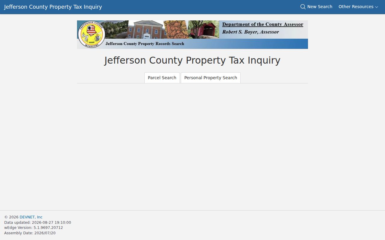
The physical and mailing columns should be transcribed separately. An owner can hold an Arnold parcel while receiving tax mail at a different address.
Arnold Street Address Terms
Street research is more reliable when the key terms stay distinct. A house number is a convenient search key, but the recorder and assessor may rely on the parcel identifier or legal description. The latter can use a subdivision, lot and block, township-range-section locator, or metes-and-bounds wording. Preserve those terms exactly before moving from a current Arnold address to an earlier transfer.
- Parcel
- A defined piece of taxable real estate tracked by the assessor under a parcel identifier.
- Situs address
- The physical address of the parcel, as distinguished from the owner's mailing address.
- Plat
- A recorded map that can connect a subdivision, lot, block, setbacks, or easements to the legal record. It is not the same as a boundary survey.
- Criss-cross directory
- An address-organized directory that can point from a street address to a listed name in a particular year.
Ordinary assessor maps are tax maps, not boundary surveys. When a line or lot edge matters, retrieve the recorded plat and seek a licensed surveyor for property-line proof.
Arnold Street Parcels in GIS
The Jefferson County Property Viewer is the map companion to the tax roll. Its documented modes are Owner, Parcel ID, Property Address, and spatial zoom. The county describes layers for aerial photography, contours, floodplain, ownership, parcel lines, roads, subdivision lot lines and text, taxing districts, political districts, voting precincts, municipal boundaries, and township-range-section context. Use the map to orient an Arnold street directory search and to identify a parcel or subdivision reference for the recorder.
The county keeps two public computers at the Assessor counter in Hillsboro. They are the useful fallback when a dynamic web view does not expose the needed map context. The county cautions that GIS maps are for tax purposes, not conveyances, and aerial photos do not establish precise property lines.
Note: GIS can provide parcel geography and map context, but the research did not confirm a fixed popup-field list or a buffer tool.
Arnold Street Deed Coverage Split
After DEVNET identifies an owner, the Recorder's index supplies the legal transfer chain. Grantor means seller and grantee means buyer. The county's instructions say to find the current owner as grantee, use the purchase year, then follow the alphabetical index to a book and page. Read the deed for the parties, recording date, legal description, lot or block, and earlier instrument references. Search the seller as a prior grantee to keep moving backward.
The Recorder's county instructions document a split that is important for historical street work: Laredo covers April 1985 to the present, while COTT's subscription route reaches from March 1985 back to 1817. Pay-per-search access, subscription access, and the public vault are separate channels. If an online vendor is unavailable or a date falls near the split, use the Recorder's public computerized grantor/grantee index in Hillsboro instead of assuming a record is absent.
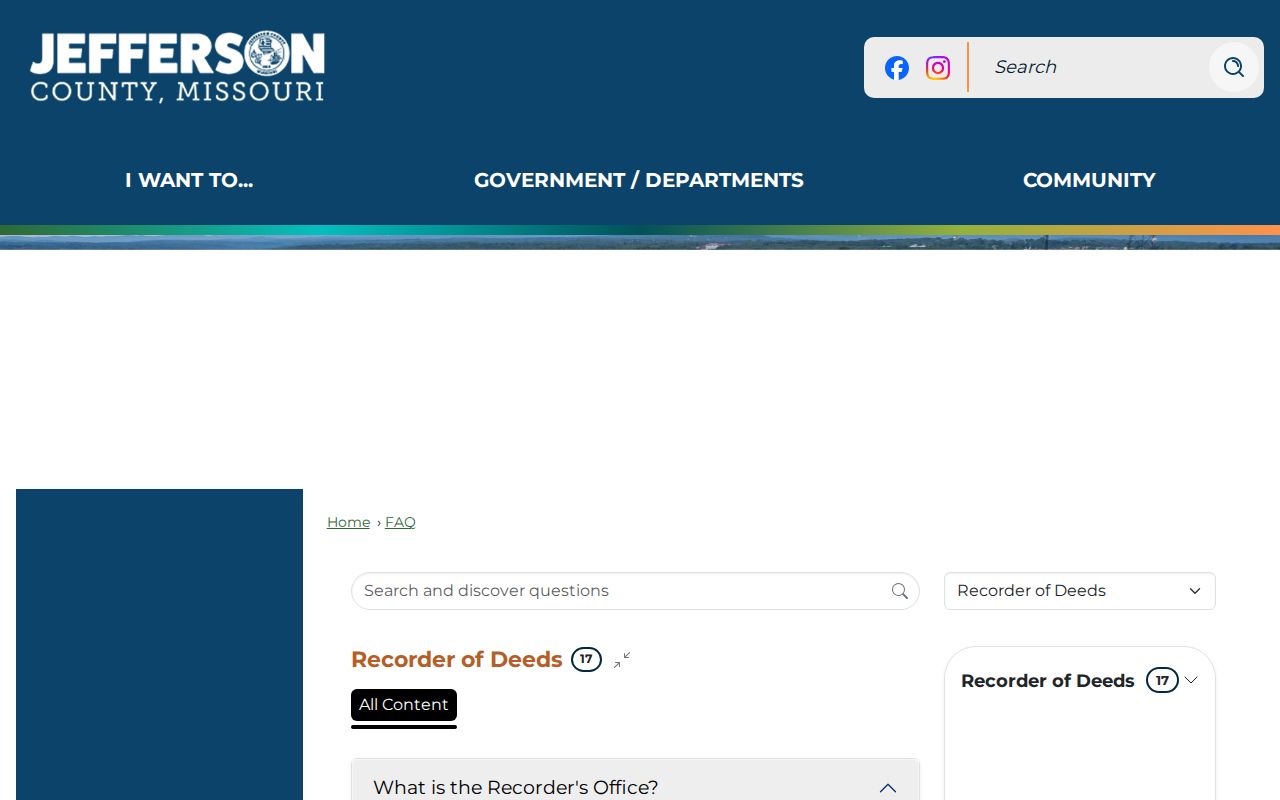
The Laredo and COTT cutoff difference is a numbers-based clue for an Arnold street directory search. It directs the researcher to the proper system or the vault before a chain of title appears to stop.
The COTT RECORDhub entry point is the subscription route identified for historical county land-record searching.
Deeds of trust and releases describe financing, not a transfer by themselves. A quitclaim or beneficiary deed also needs careful reading before it is treated as a sale.
Arnold Street Permits as Date Evidence
Arnold Community Development requires permits for commercial and residential structures, including buildings, fences, retaining walls, and signs. A permit file can add an application date, project address, permit type, contractor or applicant, inspection dates, and final status when those fields are released. It is a date layer for an address, not a roster of people who lived there. The city says applications should be submitted at least two weeks before the anticipated start, with a typical processing objective of one to two business weeks depending on scope and completeness.
The Arnold permits page leads to MyGov applications and fee information.
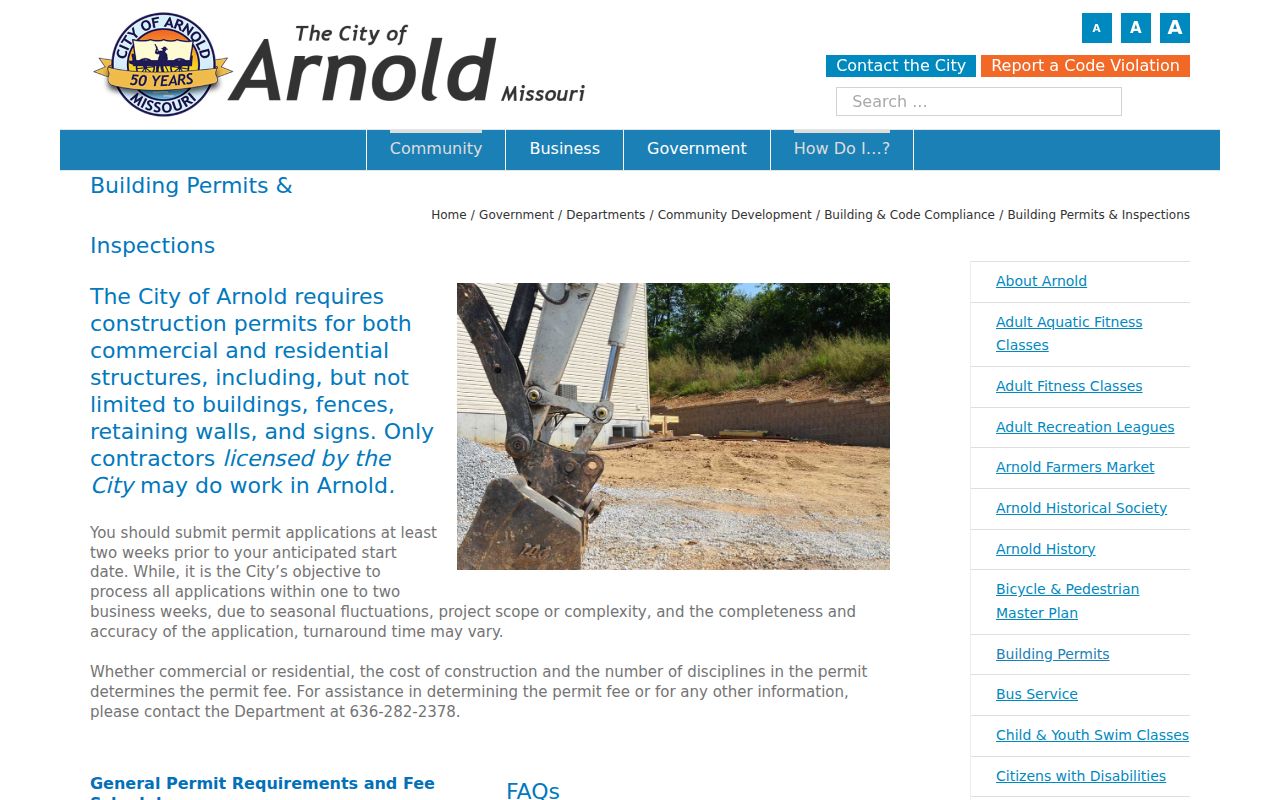
No official open permit-address database was confirmed in the reviewed materials. Request existing permit history by street address from Community Development when the portal does not offer the needed search.
Code reporting is also an address-related channel, but the city public page offers reporting rather than a confirmed searchable code-case index. Ask for an existing public record under the Missouri Sunshine Law, RSMo Chapter 610, and request the record rather than a new compilation.
Arnold Street Names Before 1972
Arnold incorporated on September 14, 1972 after Beck, Flamm City, Maxville, Old Town Arnold, Ten Brook, and Wickes joined into the city. A pre-incorporation deed, newspaper item, or directory entry may therefore use one of those settlement names or only Jefferson County. Keep the modern address, legal description, and older place terms together when a street directory search reaches back before the municipal record era.
No official source reviewed established a citywide Arnold street-renumbering or street-renaming year. Do not supply one from a guess. A plat, legal description, county record, and the older settlement name are safer bridges than trying to force an old entry into a modern house number.
Arnold Street Records for Earlier Occupants
Historical address research has a different shelf from the modern tax roll. Jefferson County Library has not posted an exact Arnold run of reverse directories, so ask its local-history staff for address-organized directories, telephone books, and St. Louis-area reverse directories. Scan the street carefully and preserve printed abbreviations and occupancy marks. Older Arnold material may be cataloged under Jefferson County or an earlier settlement name rather than the present city label.
Newspapers can add household context after a directory or deed produces a name. The library's Newspaper Index Database includes many births, deaths, marriages, probate, divorce, and other genealogical notices in local historical newspapers, while excluding some political, school-related, and social-event articles. A negative index result is not proof that no newspaper item exists; the microfilm or full newspaper collection may still be worth checking.
For the historical collections themselves, use the Arnold city directory collections rather than treating a modern parcel record as an occupancy history.
Arnold Street Search Coverage
Each address-keyed source answers a different question. DEVNET connects a parcel to tax data. The Property Viewer supplies map context. The Recorder documents legal instruments. City records can date a project. Election records have statutory limits, and historical directories can show a printed address listing for a particular year. Chaining sources is more dependable than asking one source to do all of that work.
| Address record | Custodian | Street evidence | Access channel |
|---|---|---|---|
| Parcel search | Jefferson County Assessor | Tax owner, situs and mailing addresses, parcel, values, tax fields | DEVNET, counter, or phone |
| Property Viewer | Assessor GIS | Parcels, roads, subdivisions, map layers | Online viewer or two Hillsboro counter computers |
| Recorded deed or plat | Jefferson County Recorder of Deeds | Transfer parties, legal description, lot and block | Vendor access, public vault, copies by counter or phone |
| Permit history | Arnold Community Development | Project timing and releasable permit details | MyGov or request for an existing record |
| Voter-file release | Jefferson County Election Authority | Permitted address components, year of birth, precinct and district data | Statutory request, subject to use and privacy limits |
Note: The online voter self-check is an exact-data personal registration tool, not a browsable Arnold street directory.
Arnold Street Directory Limits
An Arnold street directory cannot reveal every household member. Utility customers, delivery addresses, driver's-license records, sealed court details, and restricted vital records do not become public merely because a parcel record exists. Property ownership does not establish occupancy, a voter registration does not describe a whole household, and a GIS polygon is not a boundary survey. Missouri Safe at Home can also provide a substitute address for qualifying participants, and protected voters may seek closure of a residential address under RSMo 115.157.
When a record is open but not online, Missouri Sunshine Law requests under RSMo Chapter 610 are a fallback for existing public records held by an agency. The law does not override a confidentiality statute or require an agency to create a new list.
Arnold Street Counter Options
Online access is not the only route. The Jefferson County Assessor is at 729 Maple Street in Hillsboro and publishes hours of 8 a.m. to 5 p.m., Monday through Friday, with two public GIS computers. The Recorder of Deeds is also at 729 Maple Street and maintains its public computerized grantor/grantee index in the vault. Counter staff can help identify a proper record or copy channel, but the office does not prepare legal documents or give legal advice.
Recorder copies are available in person, and county guidance also describes phone and card orders with postage and a convenience charge. Those options matter when a vendor subscription or pay-per-search screen prevents a researcher from reaching the historical record. The proper endpoint for a legal-boundary question remains the recorded plat or a licensed survey, not the map display.